Sea Level Rise Phone App
Catch the King Participants!
Download the phone app below:
The Sea Level Rise App
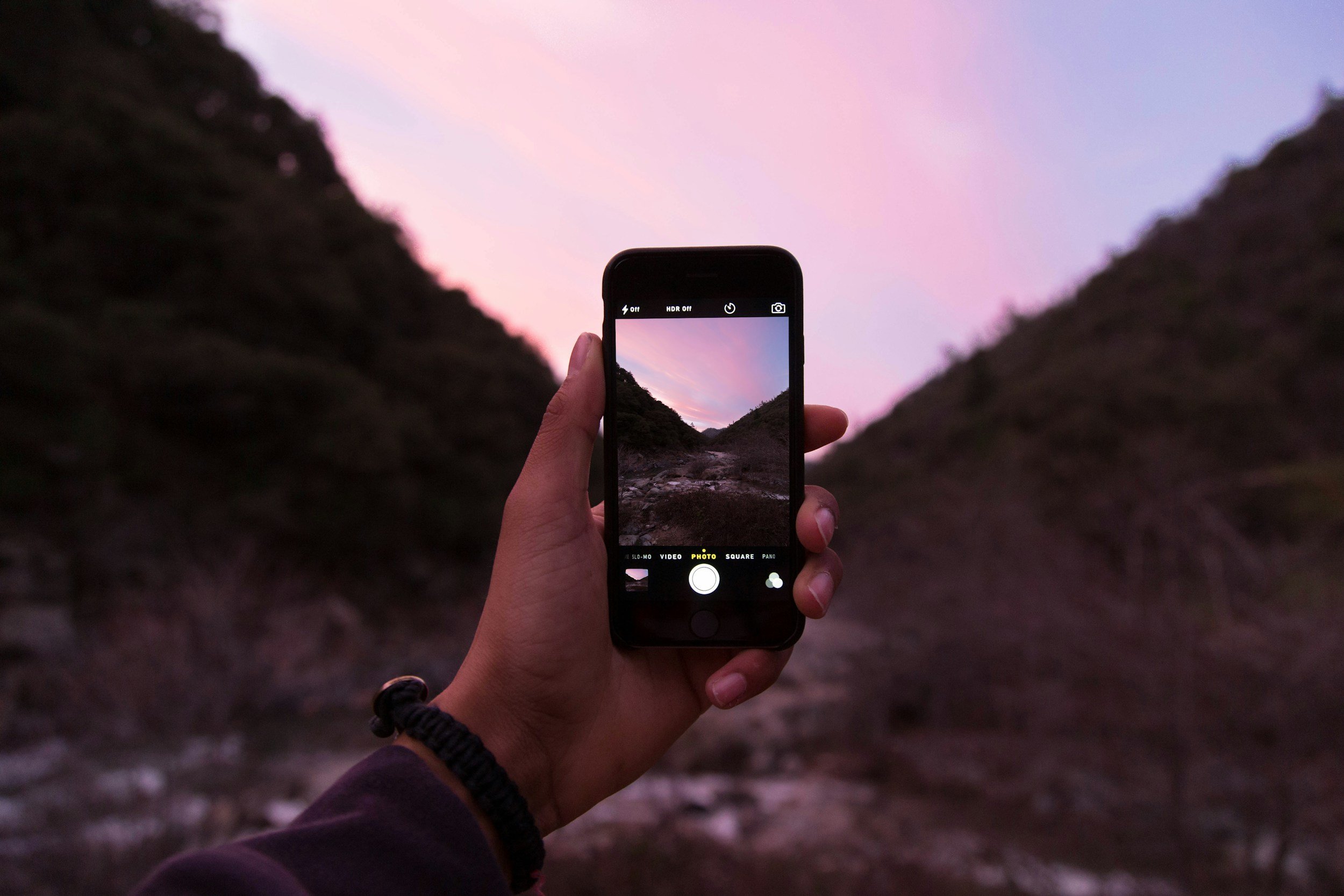
Wetlands Watch created the “Sea Level Rise” phone app to crowdsource information about flooding events, giving flood modelers, emergency managers, and planners inexpensive but detailed data about where flooding is happening on a street level. The app was developed in 2015 and is available for both Apple and Android devices.
Our original goal was to collect data to improve flood modeling and we work in partnership with a number of data users, especially the Virginia Institute of Marine Science (VIMS) to help their work on their Storm Sense modeling effort.
The idea for this app came from the realization that community members knew where the flooding occurred in their neighborhoods, but getting that information collected was a challenge. Then we observed the crowdsourcing that sprung up after Hurricane Sandy and realized there was an opportunity to use smart phones and social media to involve the public more deeply in the process of adaptation. We developed the Sea Level Rise phone app and have had it in the field available for public use since 2015. Our goal is to involve more people in reporting impacts and to provide more detailed information about when and where flooding occurs - and do it in a cost effective way.
With the inspiration of Dave Mayfield and help of the The Virginian-Pilot newspaper and WHRO, we developed a regional mapping effort around the fall high tides, also known as “King Tides.”
Together we created an event - Catch the King Tide - in 2017, and over 700 people signed up to map the high tide. We won a Guinness Record for that work! We mapped again in 2018 and we are continuing with the Catch the King effort today. With funding from NOAA, we even expanded our mapping efforts into North Carolina!
For more information, check out the short video above or visit the web portal for the app, Sea Rising Solutions.
Our partnership with researcher Dr. Derek Loftis at VIMS helps validate their flood prediction models with annual Catch the King data. Above is a map of each year's data points! Open in full-screen here.
OUR GOALS
Outreach
We want more people involved in the issue—including younger people, busy people, folks who cannot come to community meetings on flooding, or spend lots of time in formal groups. Using this app, we can create an expanded network of people concerned about flooding and sea level rise who show up when they can and contribute! With enough folks involved, we can make a difference.
Crowdsource Data
We use mappers to crowdsource real-time data on flooding during storm events and pass that along to modelers, planners, and researchers. Instead of waiting (forever) for government funding for enough tide gauges and instruments, we become the data network. We can become the solution we seek to our flooding problems.
Activist Networks
As we build a group of flood mappers, we are also building a network of informed and active citizens. We can crowdsource flooding events and bring a larger group into the adaptation conversation, helping move solutions to reality.
The more people who get involved the better it works!
Interested in Catch the King? Stay in Touch!
Catch the King Newsletter
Sign up here for news about the Guinness World Record-holding event!


